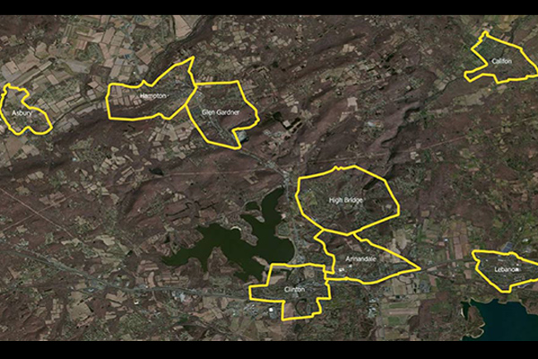
US Municipal Boundaries
US Municipal Boundaries contains up-to-date information on the boundaries of incorporated municipalities. It is updated quarterly to include new incorporations, annexations, de-annexations, mergers, consolidations, dis-incorporations, and/or dissolution of local governmental entities.
Benefits
Taxation
- Properly calculate tax rates by jurisdiction
Insurance
- Calculate premium taxes for most states
Risk assessment
- Visually analyze and track high risk areas
Telecommunications
- Assign sales tax for mobile services
Site selection
- Determine applicable municipal ordinances
Customer relations
- Save time and resources by targeting specific municipalities
Details
- Municipal boundary layer
- Municipal inventory points
- State, county, and place FIPS codes
Features
- Change log file indicates where changes were made with each release
- Data corresponds to Census TIGER/Line files
- Enhancements ensure consistent overlay characteristics
- Premium tax assignments included for most states
- Property tax assignments for leased assets
ooioioiiiooioioiioiiooioiiiooiooiiioioioiiiooioioii
Specifications
Coverage
United States
Release schedule
Quarterly
Unit of sale
Country, State
