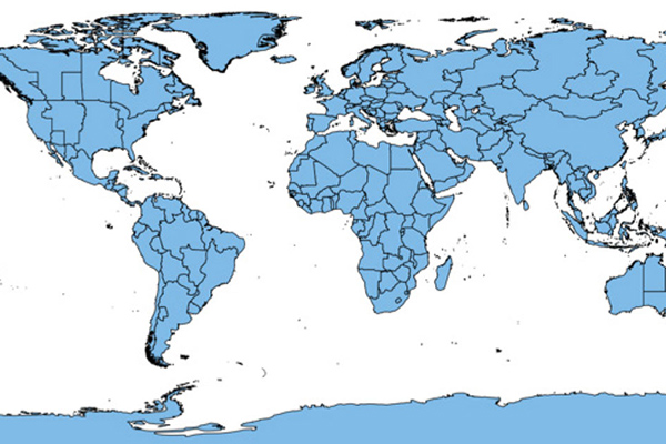
World Time Zone Boundaries
World Time Zone Boundaries provides spatial representation of the world’s lands and waters by time zone. A header shows each time zone’s deviation in hours from Coordinated Universal Time (UTC) and Daylight Saving Time (DST). Each time zone is divided by country (or parts of countries) and associated with the start and end dates/times of daylight saving time.
Benefits
The geographic information is useful for analysis of:
- Emerging markets
- Site selection
- Telecommunications and worldwide network development
- Sales territory alignment
- Worldwide shipping and distribution
- Worldwide tracking
- Search and rescue missions
- Strategic military planning and command center operations
- Homeland security initiatives
- Communication control centers
- Video conference reporting
Details
- Time Zone boundaries
- International Dateline
Layers are organized into the following workspaces for ease of use:
- WorldTimeZones.wor
- WorldTimeZones.mws
- WorldTimeZones.gst
- WorldTimeZones.mdf
Features
- Provides country name, ISO code, and FIPS code
- Contains standard and DST variation from UTC
- Includes DST start/end dates, start/end times
- Provides time zone ID
ooioioiiiooioioiioiiooioiiiooiooiiioioioiiiooioioii
Coverage
Global
Release schedule
Annual
Unit of sale
Global