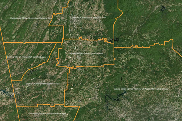
Core Based Statistical Areas (CBSA)
Core Based Statistical Areas (CBSAs) provides the geographic boundaries and point information for more than 900 statistical regions defined by the U.S. Office of Management and Budget. A CBSA represents a highly populated core area and adjacent communities that have a high degree of economic and social integration with the core.
CBSAs consist of counties and county equivalents, and are defined in two categories:
- Metropolitan Statistical Areas
- Micropolitan Statistical Areas
Benefits
- Nationally consistent geographic boundary definitions for collection, tabulation, and publication of federal statistics and content
- Assess needs and implement business decisions at a local geographic scale
- Locate customers and assets
- View and identify patterns and trends
Details
This dataset includes:
- CBSA boundary data
- CBSA point (inventory) data
- Correspondence file relating CBSAs to State, County, and Minor Civil Division (MCD) boundaries
- New England City and Town Area (NECTA) data
- Total area in square miles
ooioioiiiooioioiioiiooioiiiooiooiiioioioiiiooioioii
Specifications
Coverage
United States
Release schedule
Annually
Unit of sale
Country