ZIP Codes and Carrier Routes
Precisely offers multiple datasets related to USPS ZIP Codes. Options include:
- Carrier Routes
- ZIP Plus 4s
- ZIP Code Boundaries and Centroids
Benefits
ZIP Plus 4s
- The ZIP Plus 4s dataset identifies more than 60 million deliverable USPS ZIP Plus 4s and correlates this information to U.S. census block data.
- Create dot density maps that illustrate market locations
- Overlay maps created from other databases
- Analyze spatial relationships between current business locations, customers and competitors
- Define territories
- Deploy targeted direct mail campaigns
ZIP Code Boundaries and Centroids
- ZIP Code Boundaries provide spatial demarcations of U.S. ZIP Codes. This dataset also includes the latitude/longitude coordinate of each ZIP Code's centroid.
- Provides a quick view of specific ZIP Code changes in a given release
- Includes a complete ZIP Code table for more accurate geocoding
- Provides all names associated with a particular ZIP Code in a separate table for faster geocoding and better hit rates in the main ZIP Code boundary file
Carrier Routes
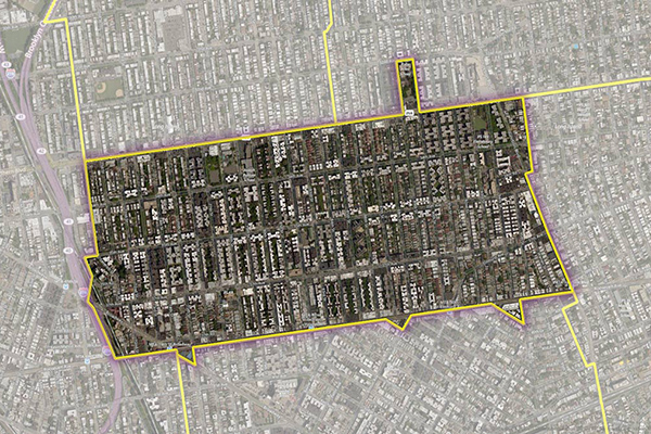
- Carrier Routes represent the area served by a particular USPS mail carrier. Boundaries follow roads for accuracy and visual appeal. A proprietary process captures residential and business routes, creating a great resource for direct marketers.
- A single record is created for each carrier route feature, regardless of the number of polygons that constitute it. Such “split routes” still contain all the necessary information to draw each polygon. The centroid file for split routes uses the gravity center point of the carrier route to ensure that that the centroid resides within one of the carrier route polygons.
Features
- Multiple data feeds, including USPS data, make this the most complete dataset of its kind
- CASS certifiable data is imported each month
- ZIP Plus 4 data is rigorously linked to every U.S. street segment
- Segments are scored based on match rates
- Areas are incorporated cleanly without jagged fence-posting
ooioioiiiooioioiioiiooioiiiooiooiiioioioiiiooioioii
Specifications
Coverage
United States
Release schedule
Quarterly
Unit of sale
Country