Data Guide Streets
Data Guide Streets
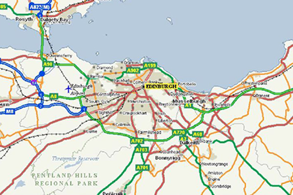
Precisely Streets is comprised of multi-sourced, topologically correct datasets for over 200 countries and territories around the world. Products include fully attributed vector datasets with street, address, transportation, land use, water feature, and points of interest information. Multi-scale basemaps are designed to interact with these vector datasets for detailed geographic analysis.
Streets, roads, and highways are provided in a classified hierarchy for clarity and consistency. Simplified chained networks accelerate map rendering for display purposes and more efficient workflows.
Detailed, interactive, editable, and searchable, Precisely Streets data is designed for use right out of the box with relevant and accessible content. Frequent updates keep datasets fresh and ready to use for highly accurate, detailed analytics.
