Census Boundary Bundle – US
Census Boundary Bundle – US provides a visual backdrop for demographic and other business analysis in the United States. It can be purchased as a complete bundle that includes all seven layers, or as individual layer datasets.
Benefits
Combine census boundaries with business data and demographics to create thematic maps for analyzing trends such as sales or population growth:
- Define sales territories or service areas
- Locate potential customers and track assets by enriching census boundaries with other datasets
- Geocode policyholders and conduct point-in-polygon analysis to determine insurance rates
- Utilize census boundaries with corresponding demographic and segmentation data to help determine where to expand
Details
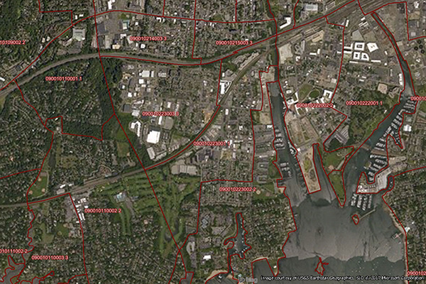
Census Boundary Bundle (US) can be purchased as individual layers or all together.
Available layers include:
- Census blocks
- Census block groups
- Census tracts
- Counties
- Minor civil divisions (MCDs)
- Places
- States
Features
- Data is extracted from Census TIGER/Line files
- Maps are enhanced to ensure perfect overlay characteristics, alignment, and compatibility
ooioioiiiooioioiioiiooioiiiooiooiiioioioiiiooioioii
Specifications
Coverage
United States
Release schedule
Quarterly
Unit of sale
Country