Property Fire Risk
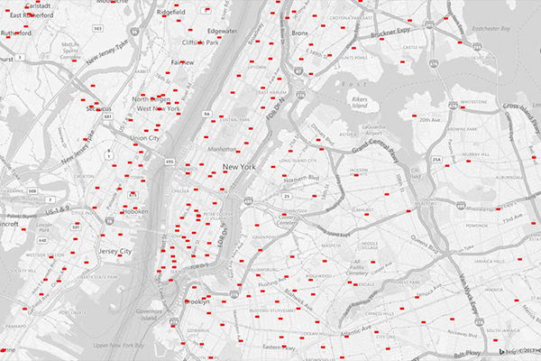
Property Fire Risk is a compilation of fire departments and fire stations across the United States featuring proximity measurements and drive times from each physical address.
Benefits
- Understand a property’s proximity to the nearest fire station to assist in determining risk exposure, underwriting, and calculating probable maximum loss
- Determine whether a residential property has adequate local fire support
- Draw on analytical mapping solutions to enhance Public Protection Class (PPC) information
- Employ batch processing and automation to support rate calculation and policy underwriting
- Support site selection analysis
- Analyze distribution of fire protection to identify gaps in coverage or areas that need further assistance
Details
Property Fire Risk provides detailed information for over 47,000 fire departments and stations, including:
- Location
- Telephone and fax numbers
- County name
- Type of department (volunteer/career)
- Number of associated stations
- Station number
- Daypart specific drive time and distance for the three nearest responding stations within 25 miles.
Features
- Provides current location for each fire department or fire station in all 50 states, as well as contact information
- Includes a geo-enrichment file which appends fire station information to every applicable address location using a unique identifier
- Contains proximity measurements for added insight at the address level
ooioioiiiooioioiioiiooioiiiooiooiiioioioiiiooioioii
Specifications
Coverage
United States
Release schedule
Quarterly
Unit of sale
Country, State
