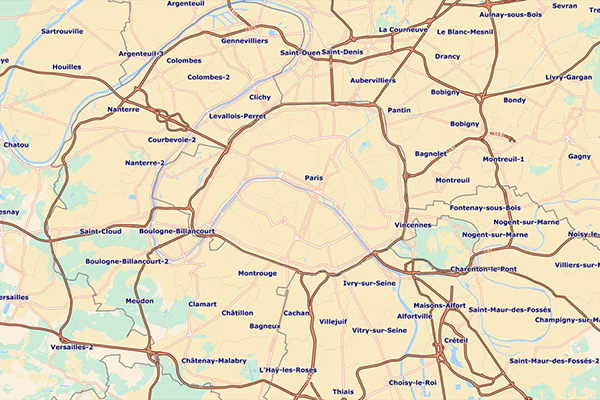
Francièmes Boundaries
Francièmes Boundaries is a valuable complement to Neighborhood, Residential, and other boundary datasets to help visualize where census polygons overlap with other boundaries in France.
Boundary layers are provided for:
- Cantons
- Communes
- IRIS
- Postaux
Details
Cantons
- Enables calibration studies across industries
- Available at the Canton and District levels
Communes
Communes are the smallest and oldest administrative subdivisions in France, roughly equivalent to towns. We aggregate or disaggregate this dataset based on commune and municipal zoning and sectorizations that are adapted to each geography.
- Provides the ability run analyses for areas governed by mayors, who are the agents of the state responsible for civil and public order, organizing elections, and issuing of official titles
- Enables calibration studies across industries
IRIS
IRIS, the smallest French statistical unit, is the level of detail recommended for many local market data studies. IRIS divides the country into units of roughly equal population (2,000 inhabitants) for statistical analysis. Municipalities with fewer than 5,000 inhabitants are not divided. Metropolitan France includes a total of more than 50,000 IRIS.
- Provides a common mapping framework for IRIS in Metropolitan France and overseas
- Available at the City and IRIS level
- Vector outlines of IRIS contours in this product are keyed to street layouts to ensure consistency between related information
Postaux
Postaux provides postal code administrative boundaries on a national scale through the most recent satellite images for accurate geographic analysis. This mapping data adds a new dimension to the spatial analysis of business, government, and community capacity.
- Enables you to locate customers
- Provides insight for creating retail catchments
- Informs studies on industrial and natural hazards
ooioioiiiooioioiioiiooioiiiooiooiiioioioiiiooioioii