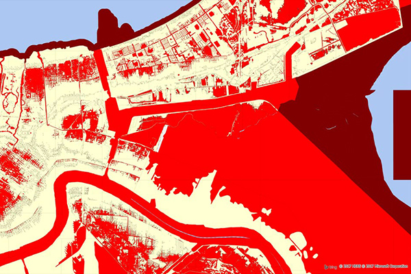
Flood Risk
Flood Risk provides the most current flood mapping data from the Federal Emergency Management Agency (FEMA). In addition to flood zone information, the product includes a database of community participation status in the National Flood Insurance Program (NFIP), elevation profiles, and proximity measurements to varying levels of flood risk.
Benefits
- Determine the flood zone, community participation status, and LOMR information for any property in the U.S.
- Assess flood risk exposure and accurately calculate premiums with respect to a distribution policyholders
- Determine flood zone elevation and whether or not a property qualifies for the National Flood Insurance Program (NFIP)
- Augment edge case risk assessments by understanding a property’s distance to 100 year and special hazard flood zones
- Identify the nearest water body to a particular property and view the elevation profile between the property location and the water body
Details
- Digital flood insurance rate maps (DFIRM)
- Flood insurance rate maps (FIRM)
- Flood hazard boundary maps (FHBM)
- Major letter of map revisions (LOMR) data
- FEMA flood insurance risk zones
- National flood insurance program (NFIP)
- Community participation maps
Features
- National coverage of the DFIRM (Digital Flood Insurance Rate Maps) and other georeferenced FEMA information
- National coverage of community participation status in the NFIP
- Geo-enrichment file which appends all flood risk information to every affected address location using a unique identifier, as well as proximity measurements for added insight at the address level
ooioioiiiooioioiioiiooioiiiooiooiiioioioiiiooioioii
Specifications
Coverage
United States
Release schedule
Quarterly
Unit of sale
Country, State