Earth Risk
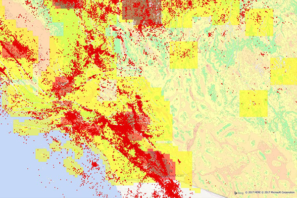
Earth Risk provides nationwide coverage of land related risks including earthquakes, landslides, lava flows, sinkholes, and hazardous soils to help stakeholders understand risk by geography.
Data layers are digital representations sourced from the United States Geological Survey (USGS), the National Earthquake Information Center (NEIC), the Earthquake Hazards Program, and AMLIS (Abandoned Mine Land Inventory System).
Benefits
- Determine proximity to high susceptibility regions for mass movement events
- Assign landslide risk, earthquake risk, and soil related risk exposure to property locations during the underwriting process
- Analyze earthquake data across an insured network to calculate geographic risk exposure, customer insurability, and probable maximum loss
- Locate a property's proximity to the nearest fault
Details
- U.S. earthquake ranges
- U.S. earthquake grid
- U.S. fault lines
- U.S. epicenter locations
- U.S. fault regions
- U.S. soil classification
- California probable maximum loss (PML) classifications
- Lava flow hazard zones
- Lava inundation zone
- Rift zone buffer
- Sinkhole locations
- Abandoned coal mines
- Karst and pseudokarst features
- Historic landslide events
- Landslide incidence and susceptibility
- U.S. regional land slide events
Features
- National file of earthquake and soil related information
- National file of sinkhole, lava flow, abandoned mine, and landslide information
- Includes a geo-enrichment file which appends earthquake and soil risk information to every affected address location using a unique identifier, and features proximity measurements for added insight at the address level
ooioioiiiooioioiioiiooioiiiooiooiiioioioiiiooioioii
Specifications
Coverage
United States
Release schedule
Quarterly, Annually
Unit of sale
Country