CadastralPlus
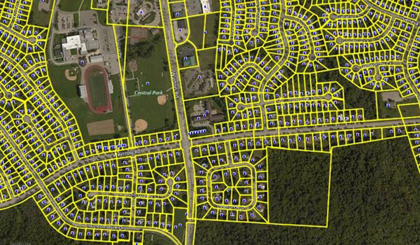
CadastralPlus is an intelligent map of every land parcel in Australia, including residential blocks, farms, national parks, road casements, easements and government-owned land.
CadastralPlus includes spatial boundaries for more than 15 million parcels, including both cadastral parcels (legal land fabric) and properties (land parcels that are generally sold/bought). This dataset is highly attributed with address and administrative boundary details along with high level land tenure and road frontage calculations.
Benefits
- Search by familiar identifiers such as street, suburb/locality, and parcel identifier
- Produce meaningful maps using label points attributed with street name inside road casements
- Easily gather information about any land parcel in Australia to improve business intelligence or develop an asset database
- Identify relationships between parcels and properties
Details
- Contains cadastral parcel boundaries and land tenure information
- Includes complete suburb and locality information
- Property IDs are added to identify the relationship between a parcel and a property
- Includes calculated road frontage
Features
- Complete national coverage, including rural and remote areas
- Provides simplified search keys by legal descriptor and suburb
- Includes tenure information
ooioioiiiooioioiioiiooioiiiooiooiiioioioiiiooioioii
Specifications
Coverage
Australia
Release schedule
Quarterly
Unit of sale
Country, State