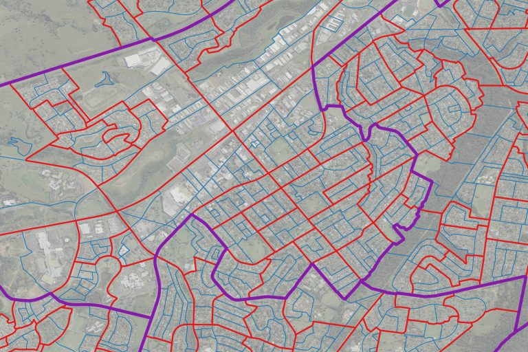
ABS Boundary Pack
The ABS Boundary Pack provides a complete set of Australian geographic boundaries applicable to the Census of Population and Housing as well as other data from the Australian Bureau of Statistics.
Benefits
- Enables mapping of all data provided by the ABS
- Saves time downloading and stitching state-based boundaries
Details
Australian Statistical Geography Standard (ASGS)
Volume 1: Main structure
- State and Territory (STE)
- Greater Capital City Statistical Area (GCCSA)
- Statistical Area Level 4 (SA4)
- Statistical Area Level 3 (SA3)
- Statistical Area Level 2 (SA2)
- Statistical Area Level 1 (SA1)
- Mesh Block (MB)
Volume 2: Indigenous structure
- Indigenous Region (IREG)
- Indigenous Area (IARE)
- Indigenous Location (ILOC)
Volume 3: Non-ABS structures
- Australian Drainage Division (ADD)
- Commonwealth Electoral Division (CED)
- Local Government Area (LGA)
- Natural Resource Management Region (NRMR)
- Postal Area (POA)
- State Electoral Division (SED)
- State Suburb (SSC)
- Tourism Region (TR)
Volume 4: SUA, UCL, SOS
- Section of State (SOS)
- Section of State Range (SOSR)
- Urban Center and Locality (UCL)
- Significant Urban Area (SUA)
Volume 5: Remoteness structure
- Remoteness Area (RA)
- Australian Statistical Geography Classification (ASGC)
- Statistical Local Area (SLA)
ooioioiiiooioioiioiiooioiiiooiooiiioioioiiiooioioii
Features
- Offers complete national coverage for Australia
- Provides Australian Statistical Geography Standard (ASGS) boundaries
- Includes Australian Standard Geography Classification (ASGC) boundaries
- Provides federal, commonwealth, and state electoral boundaries
Specifications
Coverage
Australia
Release schedule
Annually
Unit of sale
Country